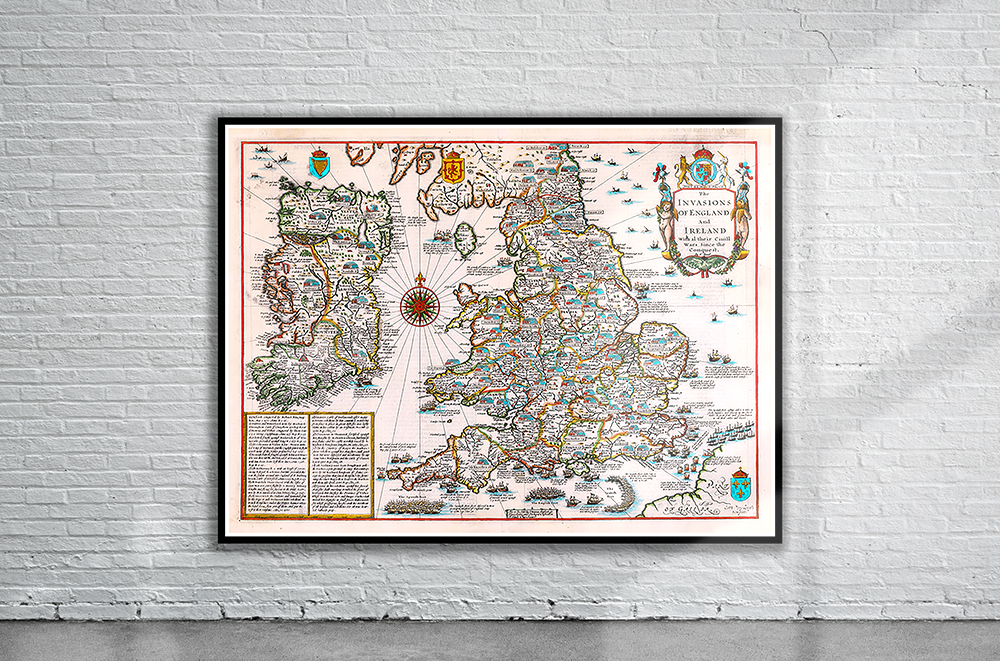
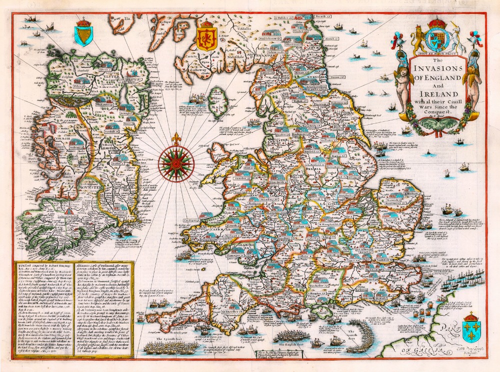
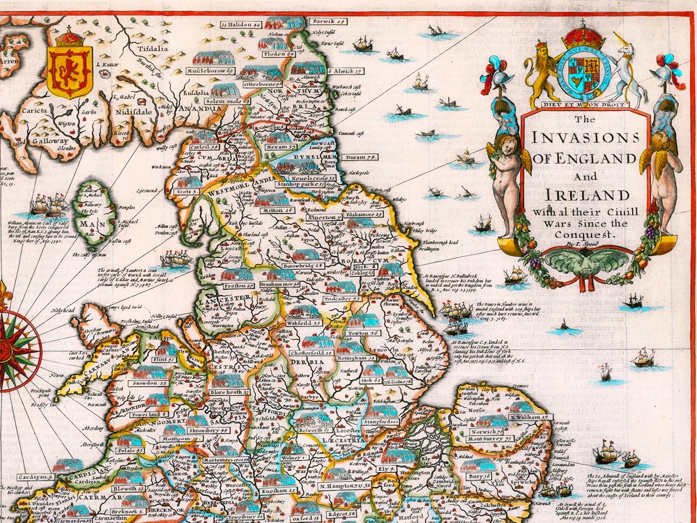
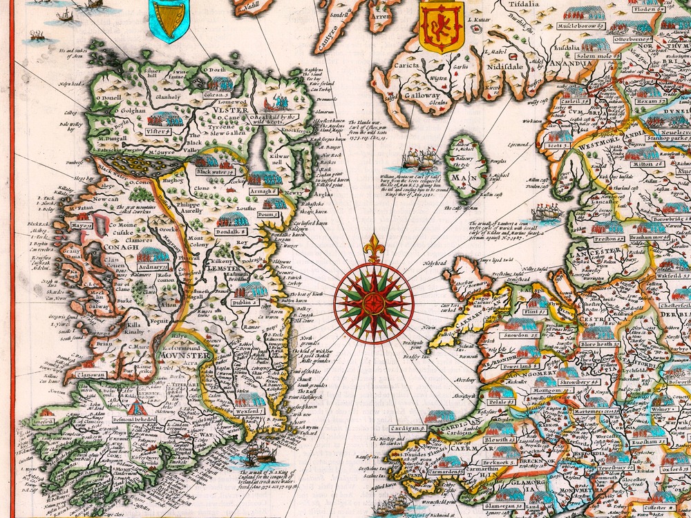
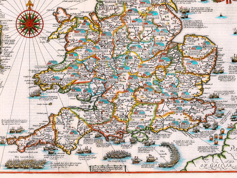
An interesting and decorative 17th century map of England & Wales and Ireland — displaying all the major battles and invasions from the Norman Conquest to the Spanish Armada – which was engraved by Cornelius Danckerts and published in John Speed’s Theatre of the Empire of Great Britaine, one of the worlds great cartographic treasures.
- Stunning Full Colour Reproduction using the Most Advanced Technology Available
- Printed on Museum Matte Archival Paper 310gm
- Unique Conversation Piece for your Home or Business
- Frame not included


