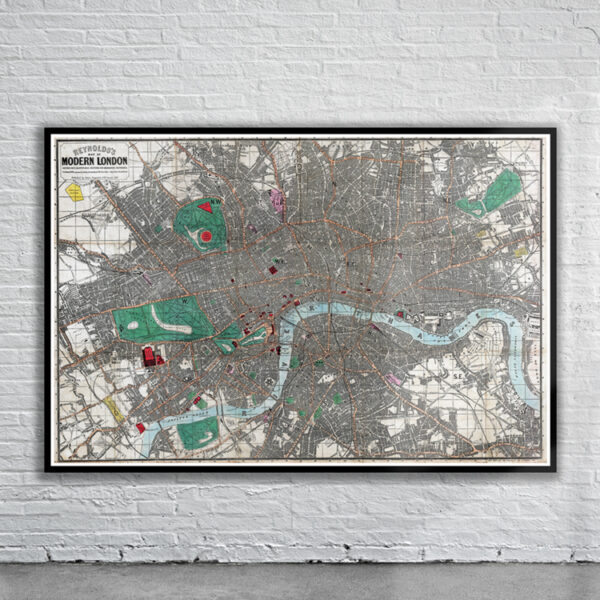
Greenwood’s Map of London from 1830. The Map is dedicated to William IV and includes two engravings of Westminster Abbey and St. Pauls Cathedral. The map also shows the boundaries of the Cities of London and Westminster, the Borough of Southwark, the Rules of the Kings Bench & Fleet, the Clink Liberty, the Parishes, and the Counties of Middlesex, Surrey and Kent.
- Stunning Full Colour Reproduction using the Most Advanced Technology Available
- Printed on Museum Matte Archival Paper 310gm
- Unique Conversation Piece for your Home or Business
- Frame not included