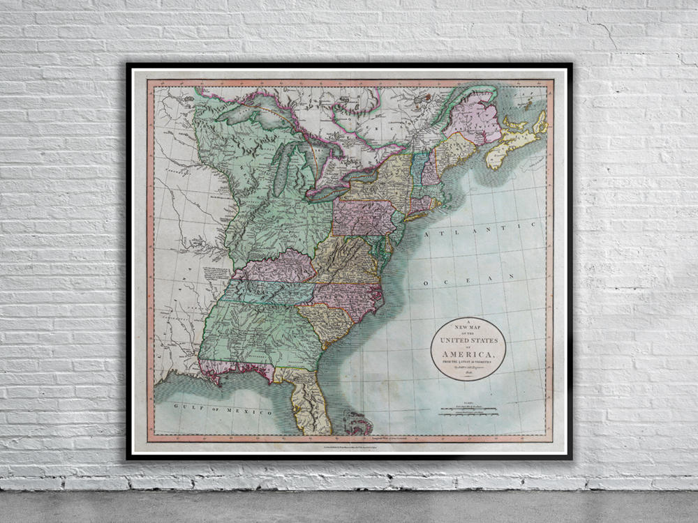
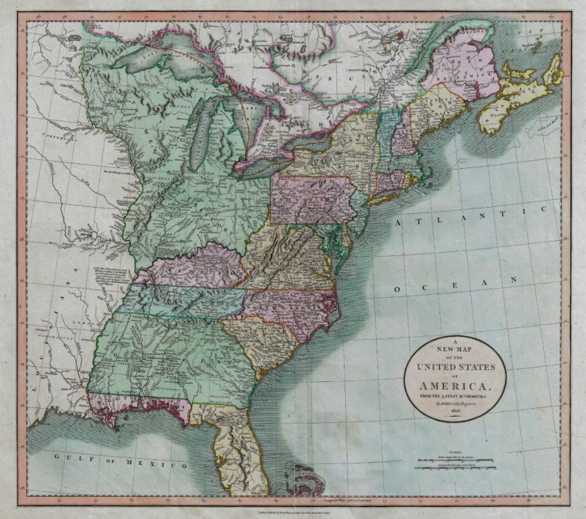
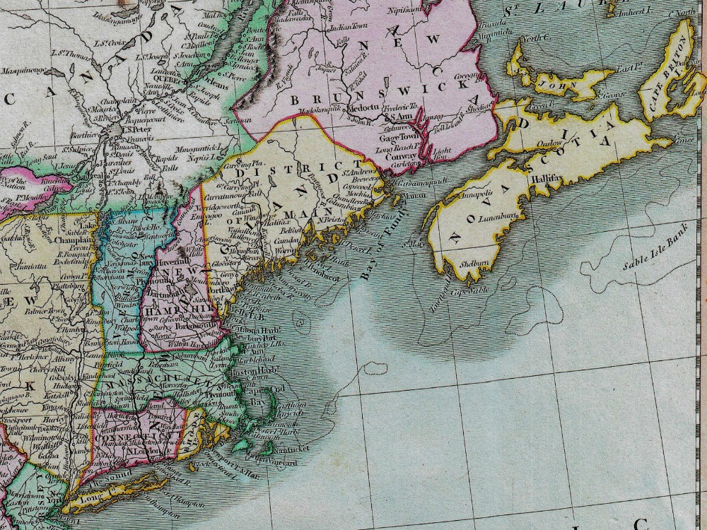
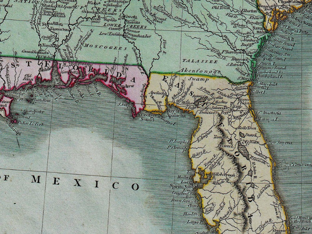
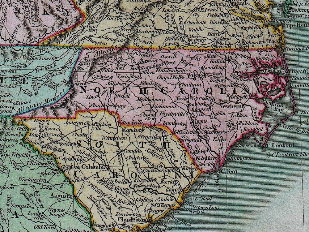
Cary’s 1806 Map of the United States east of the Mississippi River as well as parts of the Louisiana Territory and Canada. Much of the northwestern part of the United States is enclosed in the gigantic Western Territory encompassing all of modern day Ohio, Indiana, Michigan, Wisconsin, Illinois and parts of Minnesota.
- Stunning Full Colour Reproduction using the Most Advanced Technology Available
- Printed on Museum Matte Archival Paper 310gm
- Unique Conversation Piece for your Home or Business
- Frame not included


