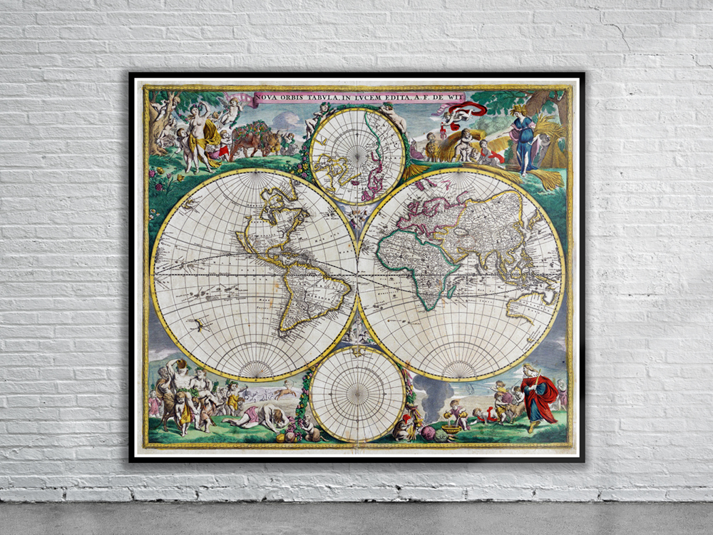
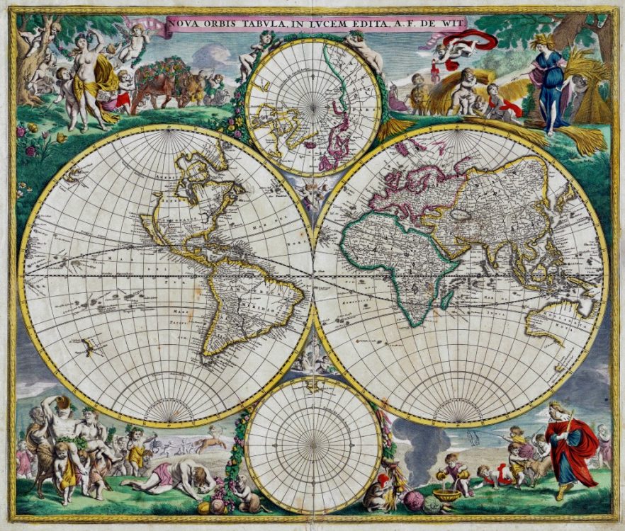
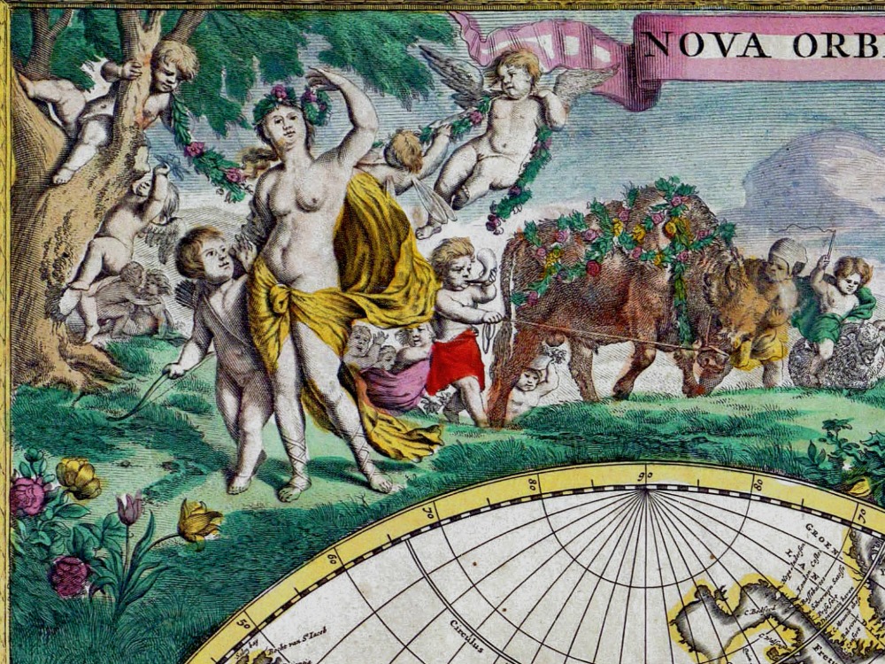
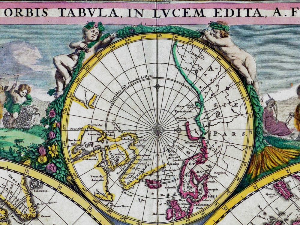
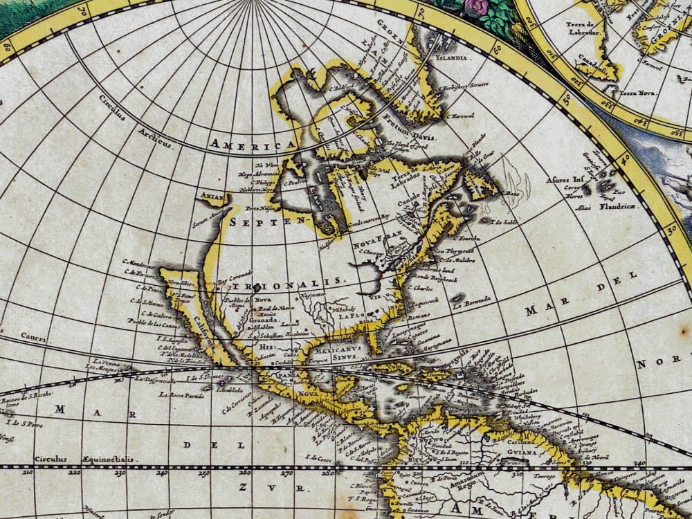
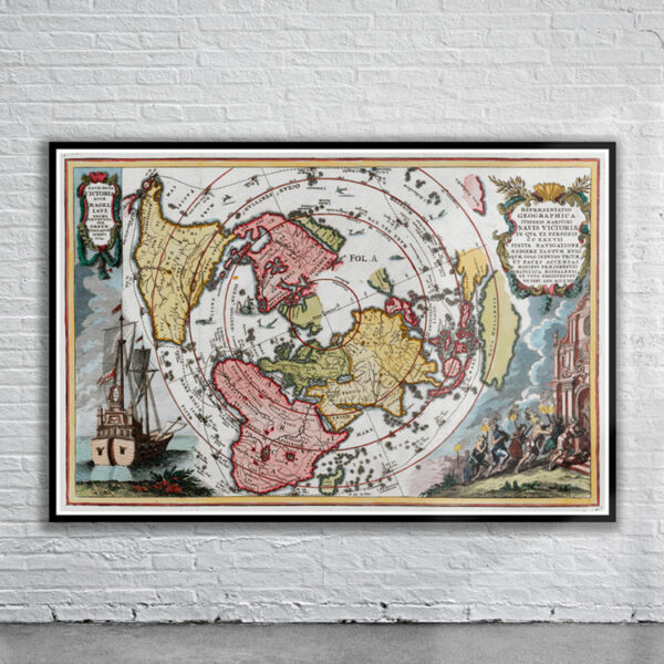
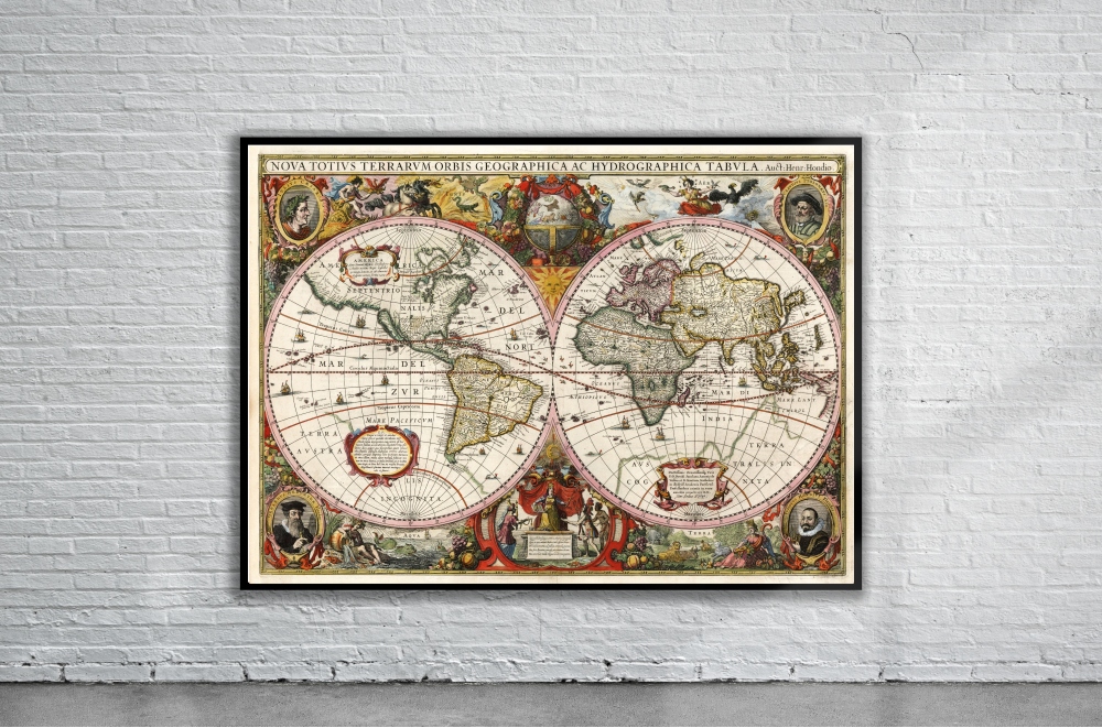
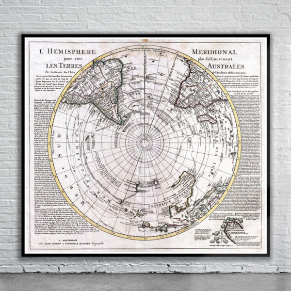
De Wit’s 1680 World Map illustrates the world in two hemispheric projections and two polar projections above and below the hemispheres. It depicts California as an island and includes illustrations of classical scenes in each corner of the map representing the four seasons and referring to the elements as well as signs of the Zodiac. Cherubs appear in the spaces between the hemispheres and polar projection insets.
- Stunning Full Colour Reproduction using the Most Advanced Technology Available
- Printed on Museum Matte Archival Paper 310gm
- Unique Conversation Piece for your Home or Business
- Frame not included


