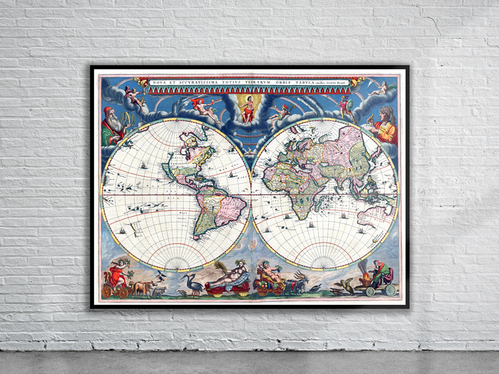
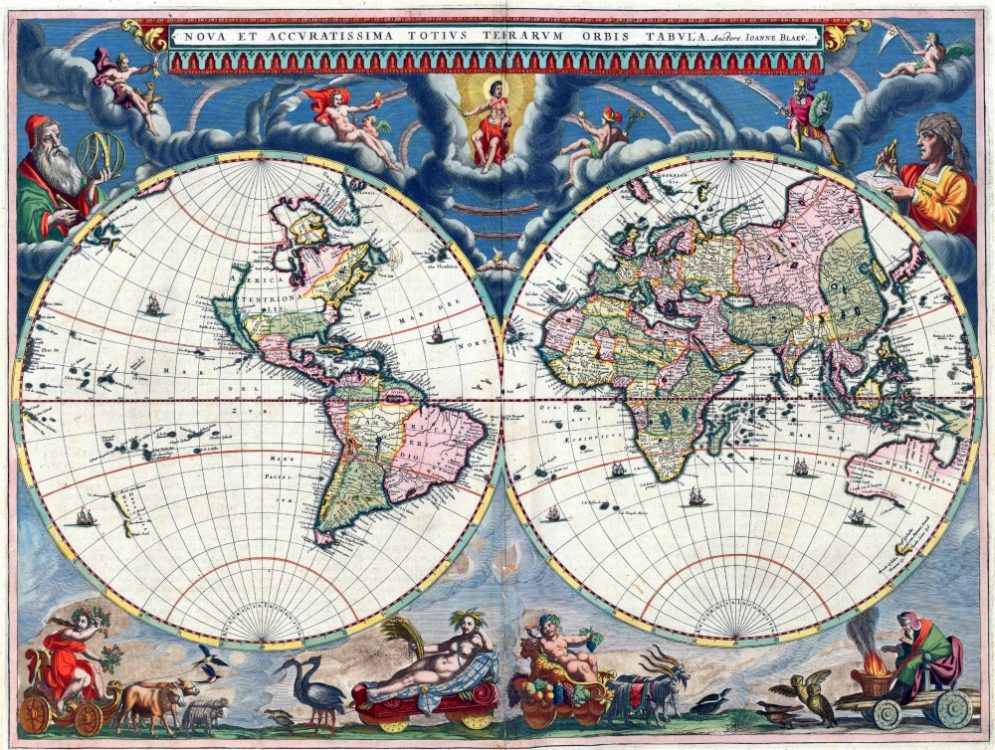
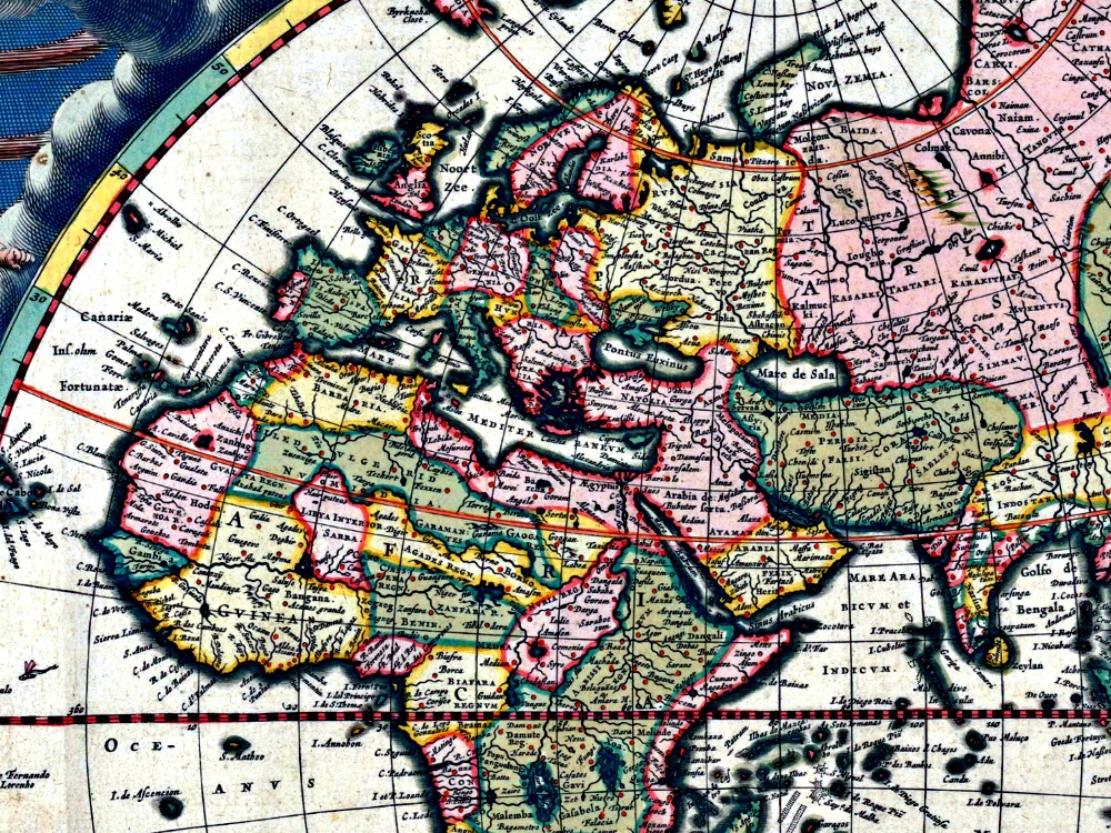
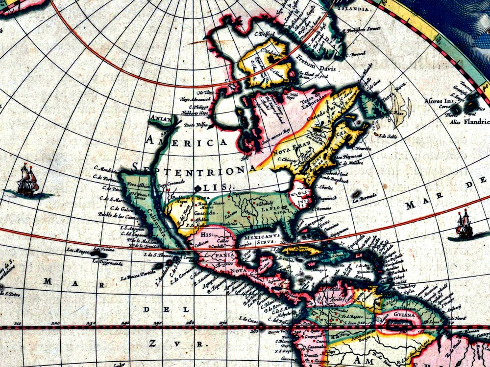
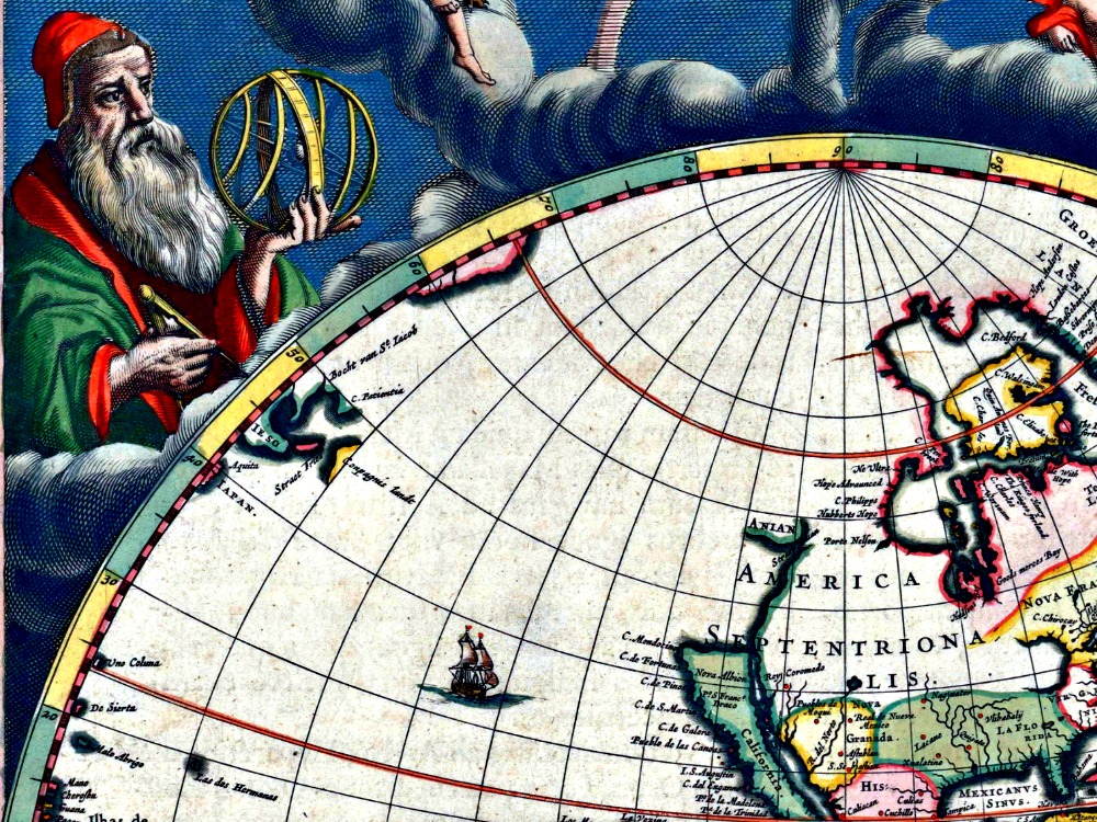
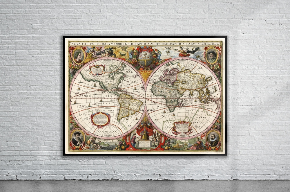
Blaeu’s 1664 Map of the World is one of the earliest world maps to incorporate the discoveries of Tasman in Australia and New Zealand. Outside the twin hemispheres at the top are celestial figures seated amid clouds: below are representations of the four seasons with each allegorical figure seated in an appropriate chariot quaintly drawn by pairs of beasts and birds.
- Stunning Full Colour Reproduction using the Most Advanced Technology Available
- Printed on Museum Matte Archival Paper 310gm
- Unique Conversation Piece for your Home or Business
- Frame not included


